How Satellite Imagery Changed The Way Wars Are Planned Today
The new reality of military observation
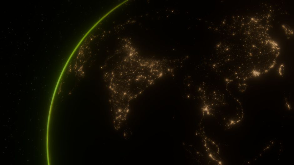
Military commanders now look at maps with entirely new eyes, and understanding how satellite imagery changed the way wars are planned today is crucial for grasping modern conflict. Gone are the days when military leaders had to rely solely on ground scouts or vulnerable reconnaissance aircraft to map out the terrain before an operation. Today, a persistent, orbital perspective provides constant, actionable intelligence that reframes the entire battlefield.
This shift from limited, episodic observation to near-constant monitoring has altered the fundamental pace of operations. By integrating high-resolution data directly into command centers, leaders can observe changes on the ground in real-time, effectively eliminating many of the "fog of war" variables that plagued commanders for centuries.
The shift from analog to digital eyes
In the past, reconnaissance was a precarious activity, often involving dangerous sorties deep into enemy territory. Aerial photographs were limited by weather, pilot risk, and the simple reality that aircraft could not remain over a target indefinitely. Satellite technology removed these constraints, enabling a steady, reliable stream of visual data that is not inhibited by the same physical dangers faced by pilots.
Modern sensors offer more than just basic photography; they include multispectral imaging, infrared scanning, and radar-based aperture systems that see through cloud cover and darkness. This evolution has allowed military analysts to detect minute shifts in enemy infrastructure or movement patterns that would have been entirely invisible to human eyes only a few decades ago.

Speeding up the decision-making process
The speed at which data travels from the orbit to the commander has revolutionized the operational tempo. Previously, the process of collecting, processing, and distributing imagery took hours or even days, often resulting in intelligence that was obsolete by the time it reached decision-makers. Now, that same information is available in near real-time, allowing for immediate tactical adjustments.
This rapid feedback loop is essential in high-intensity conflicts where the situation on the ground changes rapidly. When a command center can see a tank platoon repositioning or a supply depot being established as it happens, they can bypass traditional, slower planning cycles. This agility forces adversaries to operate under the assumption that they are constantly being watched.
Why how satellite imagery changed the way wars are planned today matters
The strategic impact of this visibility cannot be overstated. When planning a campaign, the primary objective is to maintain an information advantage, and how satellite imagery changed the way wars are planned today is centered on this quest for superior situational awareness. Planners no longer need to guess where an enemy's main force is located; they can track their movements and identify critical vulnerabilities with remarkable accuracy.
This level of transparency forces a change in tactical doctrine, as concealment becomes significantly more difficult. Forces that once relied on traditional camouflage must now account for sensors that can detect heat signatures, metal composition, and even subtle disturbances in the soil. As a result, the planning phase of any engagement now heavily prioritizes satellite-denial strategies and rapid dispersal of troops.

Precision strikes and minimizing collateral damage
Modern warfare places a heavy emphasis on targeting efficiency, and satellite data is the backbone of this precision. By mapping out a target and its surroundings with extreme fidelity, planners can calculate the exact trajectory required for munitions to hit their mark while avoiding unintended structures. This capability has become a standard requirement for operations conducted in populated areas.
Beyond simply identifying a target, satellite imagery allows for meticulous damage assessment following an strike. Commanders can verify immediately if a target has been neutralized, preventing unnecessary repeat attacks and reducing the risk to civilian populations. This level of oversight has changed the legal and moral calculus behind modern military operations.
The democratization of intelligence
Intelligence is no longer the exclusive domain of major superpowers with massive, classified satellite networks. The rise of commercial satellite imagery has provided smaller nations, non-governmental organizations, and even journalists with access to the same type of high-resolution data once reserved for elite intelligence agencies. This creates a more transparent, yet more complex, environment for military planning.
The proliferation of accessible orbital data has several key effects on modern conflicts:
- Increased Accountability: Military actions are now subject to public scrutiny as independent observers can document troop movements or infrastructure destruction in near real-time.
- Enhanced Situational Awareness: Smaller states can monitor their borders and potential threats with a level of detail that was previously impossible.
- OSINT Integration: Open-source intelligence researchers can use commercial data to verify or debunk official military narratives, adding another layer of complexity to information warfare.
Future challenges in orbital surveillance
Despite the immense advantages, the increasing reliance on satellite networks creates new, significant vulnerabilities for military planners. As space becomes more congested, adversaries are actively developing counter-satellite technologies designed to blind or destroy crucial reconnaissance assets. Planners must now account for a "contested space environment," where they cannot assume that their eyes in the sky will always be available.
This leads to the next phase of conflict evolution, which is focused on redundancy and resilience. Military leaders are now forced to plan for operations in a potentially GPS-denied or satellite-denied environment, necessitating a return to traditional mapping skills and localized sensor networks. The reliance on orbital data, while revolutionary, is now balanced by the inherent risks of a fragile, targetable infrastructure in low Earth orbit.