The Evolution Of Navigation From Wartime Maps To Modern Gps
The Shift from Paper to Pixels
For centuries, human movement across the globe relied on paper, intuition, and landmarks. The evolution of navigation from wartime maps to modern GPS has completely reshaped how we traverse our planet, moving from fragile physical guides to instant digital precision. It is hard to imagine a time when getting lost was a common occurrence, rather than a rare mistake corrected by a quick glance at a smartphone.
Early navigation depended on detailed cartography and celestial observation, requiring immense skill to interpret correctly. Soldiers and explorers had to manually calculate positions, often under extreme pressure or in harsh conditions. This reliance on static information meant that if a path was blocked or a road closed, the map offered no immediate alternative.
The Art of Cartography in Conflict
During the height of wartime, paper maps were the most critical asset for troops in the field. These maps had to be painstakingly accurate, representing terrain, elevation, and key landmarks with perfect fidelity. A single error in printing or a miscalculation in the field could lead entire battalions off course, often with devastating consequences.
Generals and soldiers alike became experts at reading topographic lines and understanding the landscape before they even set foot on it. They mastered the art of orientation, using compasses and their own eyes to bridge the gap between a two-dimensional document and the chaotic, shifting reality of the battlefield. It was a skill set defined by patience, caution, and an intimate relationship with physical geography.
Beyond Sight and Sound
As the need for greater accuracy grew, technology began to offer alternatives to static maps. Radio navigation systems like LORAN allowed ships and aircraft to triangulate their positions using signals from shore-based transmitters. These systems were a massive leap forward, offering a level of reliability that human intuition could not consistently match.
However, these early systems had severe limitations, including restricted ranges and susceptibility to interference from weather or terrain. They were often bulky, expensive to maintain, and technically complex to operate. Despite these hurdles, they proved that electronic signals could provide reliable positioning, setting the stage for a more radical shift in how we understand our location.
The Evolution of Navigation from Wartime Maps to Modern GPS
The true turning point arrived with the development of the Global Positioning System, a project driven by military necessity during the Cold War. By placing a constellation of satellites in orbit, developers created a system that could provide precise timing and location data anywhere on Earth, day or night, regardless of weather conditions. This breakthrough allowed for unparalleled accuracy that made previous navigation methods seem primitive.
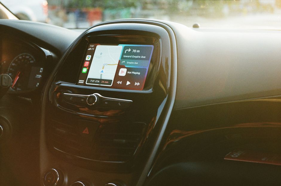
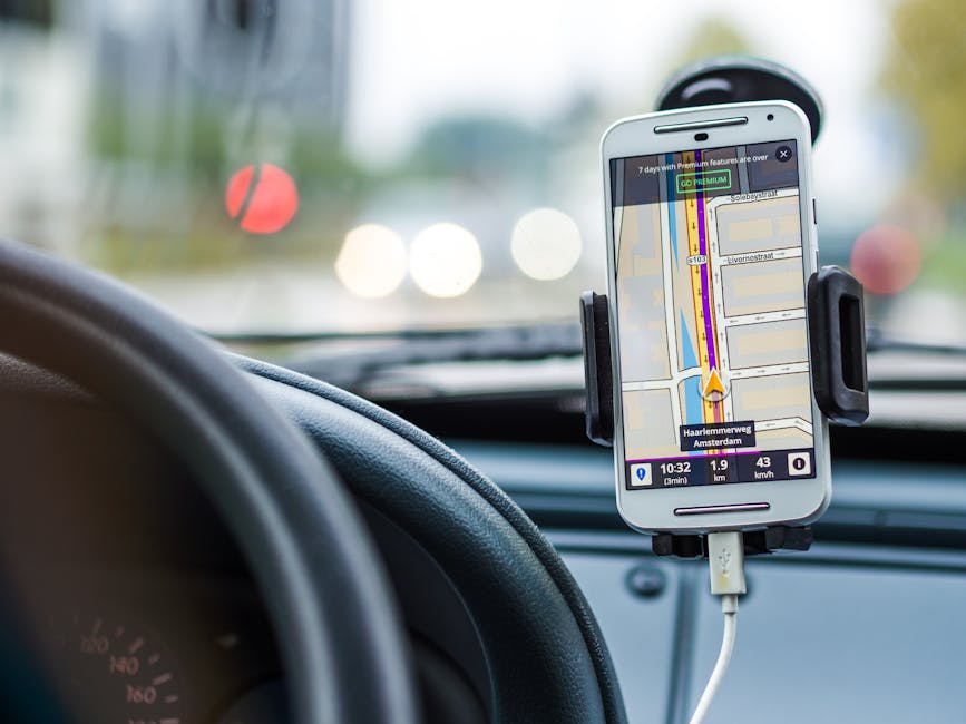
Once this technology became available to the public, the transition away from paper maps happened rapidly. Navigation went from being a specialized skill requiring training and focus to a passive service provided by devices that fit in a pocket. The reliance on human interpretation was replaced by the cold, hard logic of satellite trilateration, changing the fundamental nature of the traveler's experience.

From Military Secret to Pocket Essential
Initially, this satellite technology was a tightly controlled military asset, deemed too critical for general civilian use. Slowly, access was granted, and the floodgates opened for innovation across industries, from commercial aviation to personal transport. This democratization of positioning data ignited a transformation in how society functions.
The impact of this shift is visible in every aspect of our daily routines. Consider how significantly our expectations for travel have been altered by the following advancements:
- Real-time routing that adjusts instantly to avoid traffic jams and accidents.
- Hyper-local search features that guide us to the nearest coffee shop or gas station with pinpoint accuracy.
- Ride-sharing services that rely entirely on the ability to track drivers and passengers with extreme precision.
- Asset tracking that allows companies to manage logistics and delivery fleets more efficiently than ever before.
Smarter Routes and Better Data
Modern navigation has evolved beyond simple A-to-B routing by incorporating vast amounts of real-time data. Today's applications do not just know where you are; they understand the state of the world around you, from accidents to construction projects. This intelligence allows for smarter, safer, and faster travel, essentially giving us the power to predict and avoid potential problems before they occur.
Artificial intelligence and machine learning now play a key role in refining these routes. By analyzing millions of trips taken by other users, these systems can suggest paths that are statistically more likely to be fast, even if they aren't the shortest distance. We have shifted from trusting a static map to trusting an algorithm that constantly learns and adapts to our environment.
Future Frontiers of Positioning
The journey of navigation is far from over, as we push into new areas where GPS struggle, such as dense indoor environments and subterranean spaces. Sensors, including accelerometers, gyroscopes, and vision-based positioning, are being integrated to fill the gaps left by satellite signals. This ensures a seamless transition between outdoor travel and indoor exploration, regardless of location.
Augmented reality is also set to become a major part of the navigation experience, overlaying directional cues directly onto the real world. This will likely make traditional map reading a completely obsolete practice, as the path becomes a digital line projected onto our field of vision. The trajectory from those early, paper-based wartime maps has been long, but the technology continues to push the boundaries of how we experience our world.